Trimble Field Points
Trimble® Field Points is designed for building construction contractors and engineers who need the ability to easily create 2D and 3D field points within their preferred design file. Whether working with building information model (BIM) files or conventional 2D drawings, you need the ability to translate critical points to the field. That’s where Trimble Field Points comes into play. Trimble Field Points is an engineer or building construction contractor’s go-to concept-to-construction solution.
Features Include:
- Flexible point creation – users have the flexibility to create control points, insert manual points or generate automatic point locations to streamline the creation of layout data in their model files
- Custom reports – document the status of specific points or all points within a drawing to assist with project management
- Easy field point data import – users can import field point data into the Trimble Field Points software, while staying within their preferred design platform, to assist with their QA/QC workflows for comparison in the model
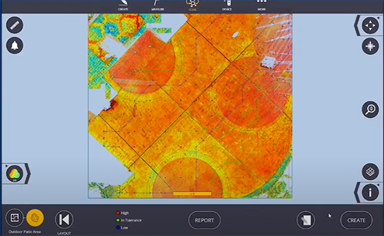
Trimble FieldLink
 Increase productivity and accuracy in the field with one solution that manages the complete construction layout and as-built collection process. Trimble FieldLink provides your team with a flexible, scalable field layout and scanning solution that performs better than traditional workflows.
Automate your layout process with easy-to-use, task-based workflows, customizable views and a touch-screen interface. Connect field crews to digital, 3D Constructible models to maintain a direct link between design intent and construction reality.
Features include:
- Improved layout accuracy– Precisely layout directly from the model or created lines
- Real-time visualizations– Collect points, lines and curves to create your 3D project as-built
- Manage 3D Scanning– Manage your X7 and layout process while viewing scan data in the field
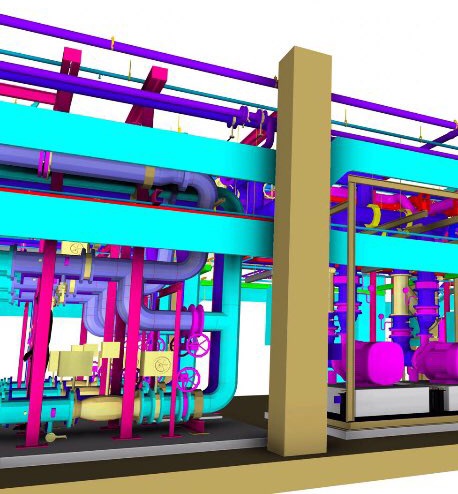
Trimble RealWorks
 Visualize and extract compelling deliverables from 3D data. Trimble 3D scanning software allows you to integrate 3D point and survey data to Extract measurements, Generate deliverables and Utilize inside 3D CAD software. Trimble RealWorks is specifically designed for point cloud processing and analysis. The software provides a complete solution to efficiently register, analyze, model and create deliverables using data from virtually any source.
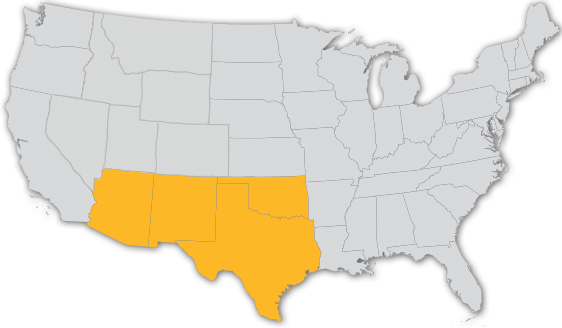
WE ARE WHERE YOU ARE
Serving AZ, NM, OK & TX